SOUTHEAST LOUISIANA FLOOD PROTECTION AUTHORITY – WEST CONTINUES TO MONITOR TROPICAL STORM CRISTOBAL
MARRERO, La. (June 3) – The Southeast Louisiana Flood Protection Authority – West continues to carefully monitor the Tropical Storm Cristobal in the Gulf of Mexico.
Based on storm and wind probability projections by the National Weather Service (NWS), the Southeast Louisiana Flood Protection Authority (SLFPA-W) will begin closure of non-essential flood gates and valves along the Peters Road corridor on Thursday, June 4. These actions will not affect normal business operations on the West Bank.
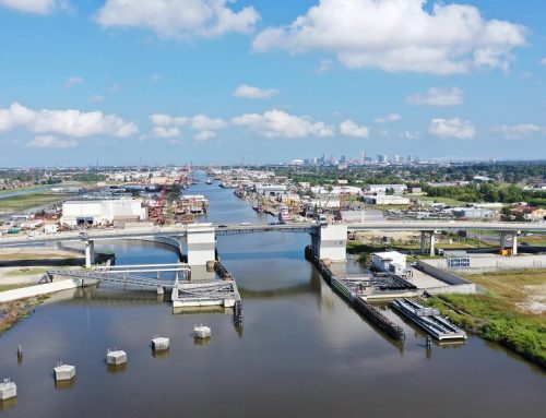
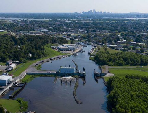
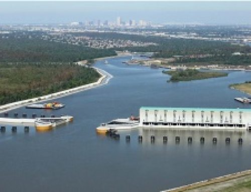
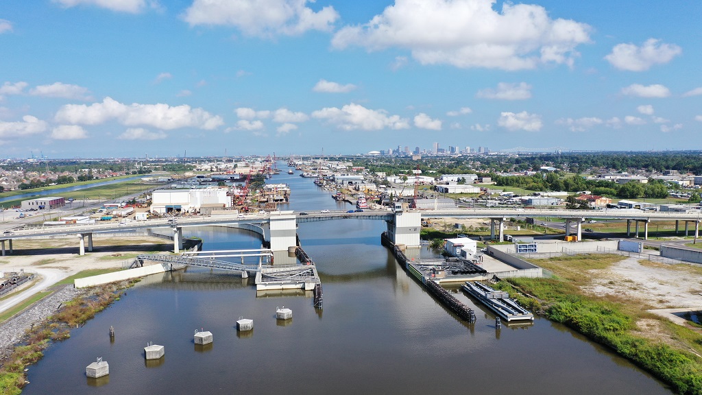
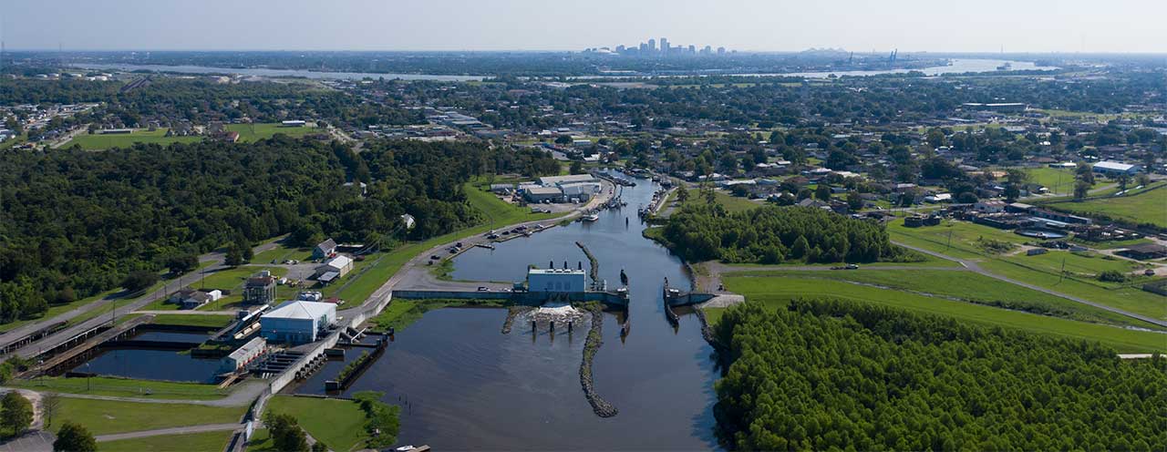
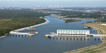
We anticipate closure of the floodgates at the Bayou Segnette State Park as early as Friday, June 5, and no later than Saturday, June 6. Closure of the gates at Bayou Segnette State Park will close access to the boat launch at the park. We also anticipate gate closures at LA-45, Harvey Canal Sector Gate, and Bayou Segnette Sector Gate no later than Saturday afternoon, June 6. A decision to close the West Closure Complex will be made sometime Friday, June 5. We advise those who may be affected by these actions to take precautionary steps in advance of these closures.
We will post daily updates on our website at www.slfpaw.org. For additional information follow us on Twitter and Facebook.
# # #
About the Southeast Louisiana Flood Protection Authority – West (SLFPA-W)
The mission of the Southeast Louisiana Flood Protection Authority – West is to protect the citizens and businesses of the West Bank of the greater New Orleans area in Jefferson and Orleans Parishes from hurricanes and riverine flooding by inspecting, operating, and maintaining the integrity of our levees, floodwalls, and floodgates. It is composed of two levee districts: the West Jefferson Levee District in Jefferson Parish and the Algiers Levee District in Orleans Parish. The Authority has jurisdiction over 80 miles of levees in the most populated areas of the West Bank of Jefferson Parish and in all of Orleans Parish on the West Bank, including 47 miles of levees that are part of the Hurricane and Storm Damage Risk Reduction System (HSDRRS) and 33 miles of Mississippi River levees. Since 2006, all of the Authority’s levees and floodwalls have been improved for the protection of residents in south Louisiana. For more information, visit www.slfpaw.org.