Hurricane Harvey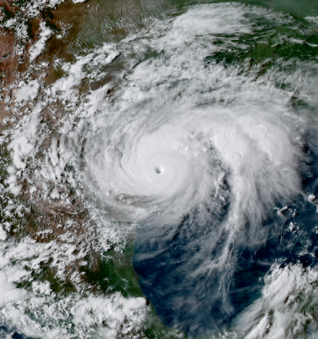
When Hurricane Harvey made landfall in Louisiana, the SLFPA-W was prepared. SLPFA-W closed the Bayou Segnette sector gate for approximately 36 hours to prevent storm surge from entering the company canal in Westwego. Hurricane Harvey placed about 3 feet of storm surge on the West Bank flood protection system. While Hurricane Harvey dumped historical amounts of rain in Texas, the Greater New Orleans area only saw about 3.5 inches of rain in a 24-hour period.
Flood Insurance Rate Maps for Jefferson
A Flood Insurance Rate Map (FIRM) is the official map of a community on which FEMA has delineated both the special hazard areas and the risk premium zones applicable to the community. In August of this year, FEMA approved the new FIRM’s for Jefferson Parish which will go into effect in February of next year. The new maps incorporate the best available data, including ground elevation, upgrades representing improvements in drainage canals, pump stations and the recently accredited post-Katrina improvements to the hurricane protection system. This will mean lower flood insurance rates for more than 40,000 properties that have been reclassified from AE (high risk) to X (reduced risk). Properties in the X zone are protected by a levee and considered to be in a non-special flood hazard area. The SLFPA-W will continue to raise our levees to ensure that we maintain our levee accreditation.
Interior Drainage Pumps v. Hurricane Protection Pumps 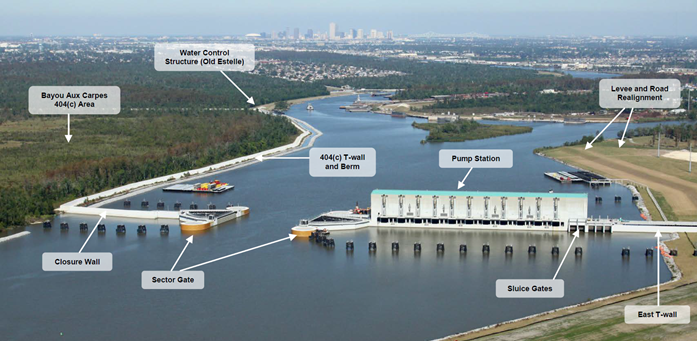
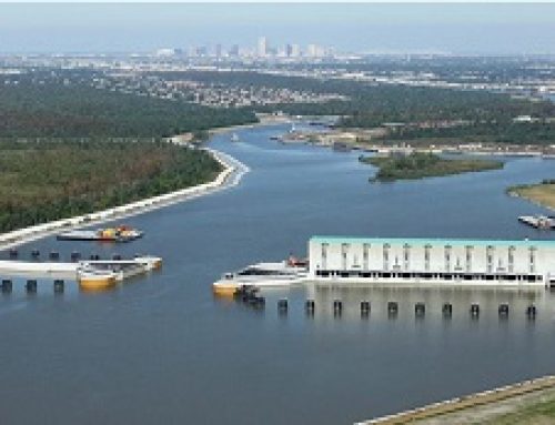
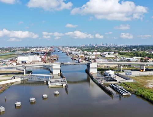
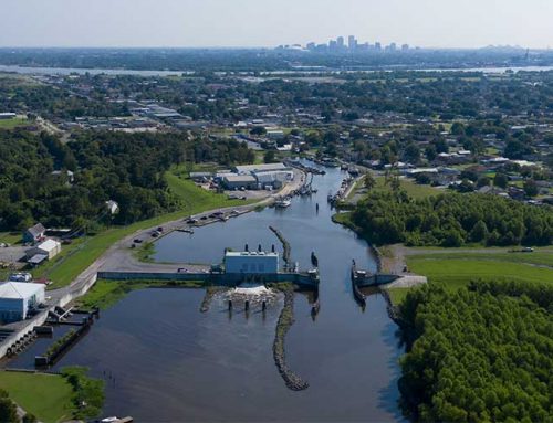
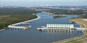
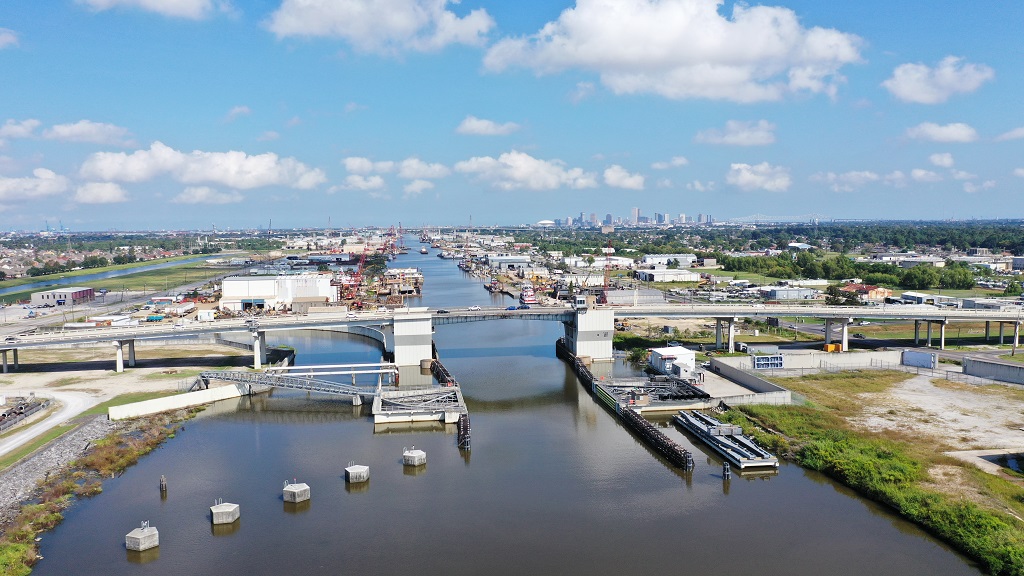
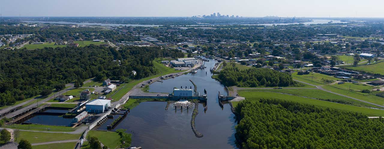
Whenever it rains in our area, the parish turns on the pumps to drain the streets of the accumulated water. The water flows through the catch basins and then flows to the canals that run adjacent to highways such as Whitney Avenue. From there the water flows to the pump stations that pump the water to the Harvey and Algiers canals, otherwise the water is pumped to the outer Cataouatche Canal. Once inside those larger canals, the water gravity flows toward the Intracoastal Waterway (ICWW) and eventually to the Gulf of Mexico. That is effective unless the area is being threatened from hurricane storm surge. When that happens, the pass to the ICWW is closed by a massive 225 feet sector gate located at the confluence of the Harvey and Algiers Canals. This opening is closed to prevent deadly storm surge from overtopping our interior levees. However, the rain water still needs to be pumped to the ICWW in order to keep our area dry. At that point, the massive pumps adjacent to the 225 feet sector gate are turned on, and the water is pumped over the flood protection system and into the ICWW. The sector gate and pump station are also known as the West Closure Complex (WCC). The SLFPA-W exercises all of the equipment at the WCC twice per month to ensure that is in top working order.