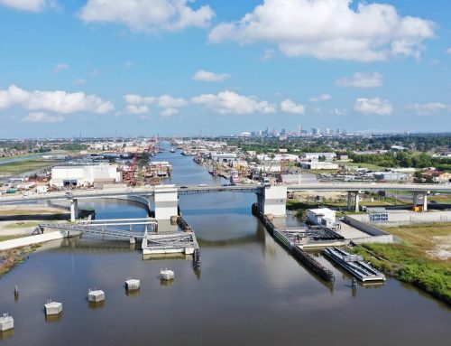
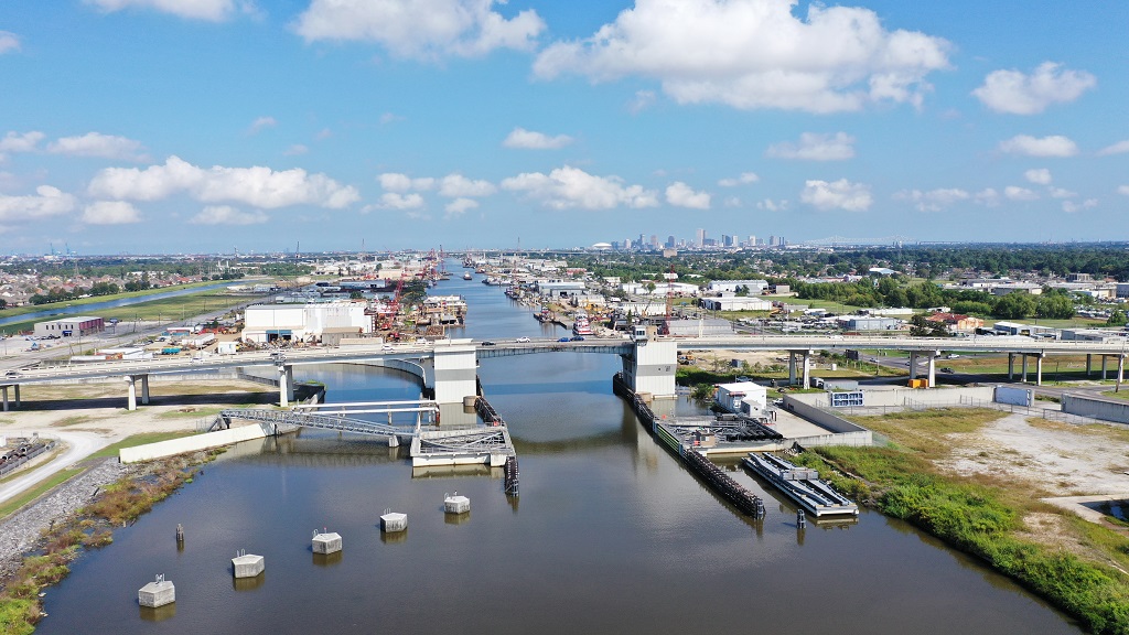
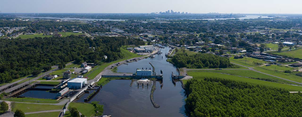
Nate is now a hurricane and has picked up forward speed. It is expected to make landfall on the Mississippi Gulf Coast after midnight tonight. Nate currently has maximum sustained winds of 90 MPH and moving NNW at 26 MPH. Impacts to our area will entail potential rainfall of 3-6 inches and tropical force winds Saturday through mid-day Sunday. Potential Storm Surge of 3-6 feet above normal impacting communities outside the Hurricane Protection System.
At this time, 39 land-based floodgates have closed and 8 remain open; however, SLFPA-W expects to close them by 3 p.m. CDT on Saturday . The West Closure Complex and Bayou Segnette Sector Gates remain open, but the Highway 45 floodgate has been closed.
By SLFPA-W|2017-10-07T09:50:16-05:00October 7th, 2017|SLFPA-W News|Comments Off on Latest Update on Tropical Storm Nate – 5


